Starved Rock State Park Illinois: Trails, Tips & Guide

Starved Rock State Park is one of Illinois’s most appealing destinations for outdoor adventures, combining sandstone cliffs, wooded hiking trails, seasonal waterfalls, scenic river views, and opportunities to observe wildlife. Located near Oglesby in LaSalle County, the park offers a refreshing escape for families, couples, photographers, and anyone looking to spend time in nature.
The park covers approximately 2,630 acres and is known for its 18 canyons formed by natural erosion. Its landscape changes throughout the year: spring brings flowing waterfalls, summer creates a green woodland setting, autumn adds colorful foliage, and winter can transform the waterfalls into frozen formations.
Whether you are planning a short walk, a full day of hiking, or a weekend getaway, preparing ahead can help you choose suitable trails, avoid unnecessary detours, and make the most of your visit.
Where Is Starved Rock State Park?
Starved Rock State Park is located near Oglesby and Utica in northern Illinois, along the Illinois River. It is approximately 100 miles southwest of Chicago, with a typical drive of around 1.5–2 hours, depending on traffic and your starting point.
The park is accessible by car, making it a practical destination for a day trip from the Chicago area. Visitors should check their preferred route before departure and allow additional time during busy weekends or holiday periods.
Photos
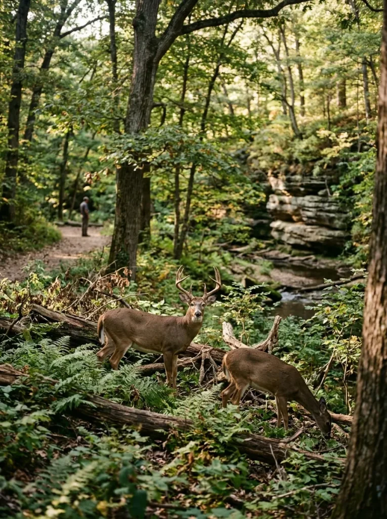
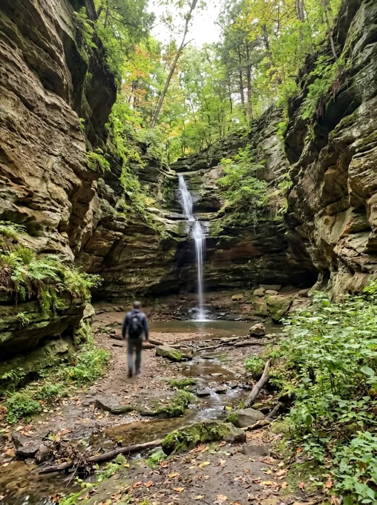
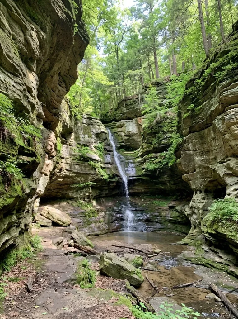
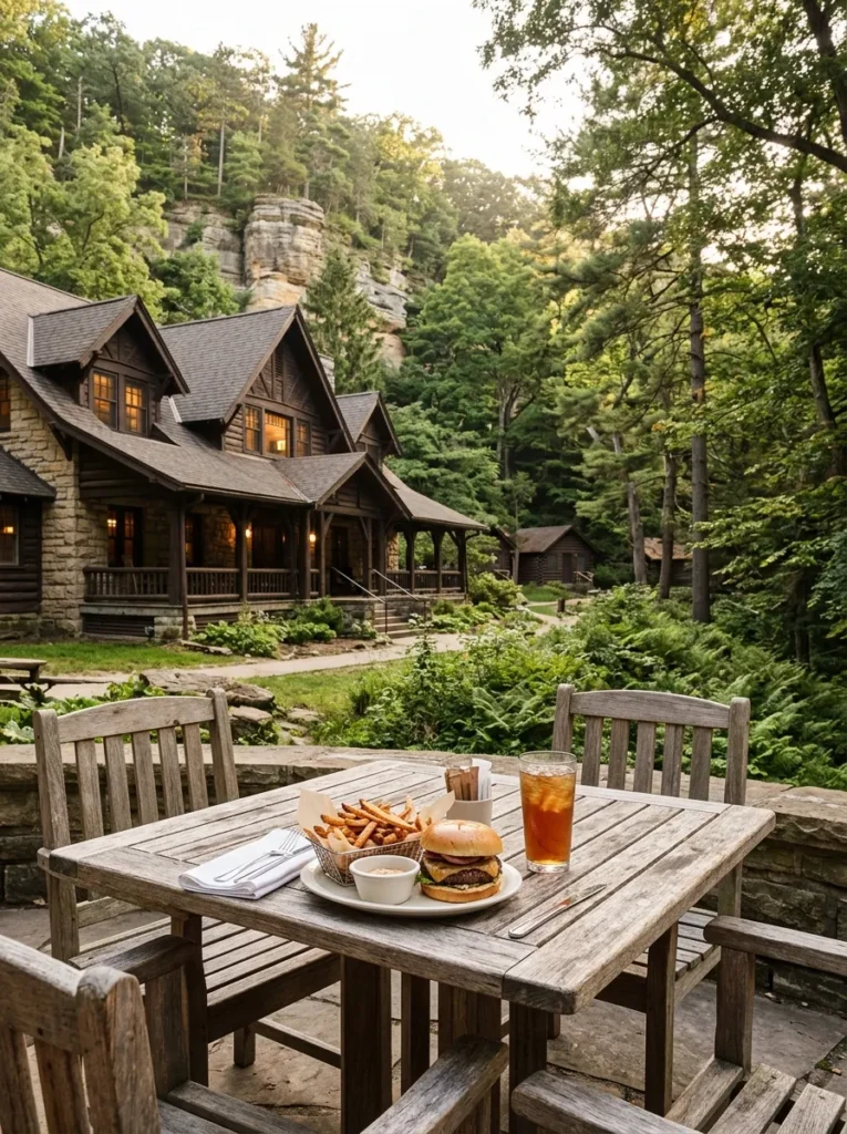
Why Visit Starved Rock State Park?
The park offers several experiences within one natural area, so visitors do not need to be experienced hikers to appreciate its scenery.
1. Explore 18 Natural Canyons
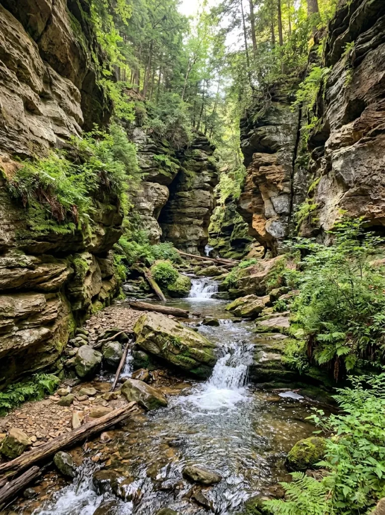
The park’s canyons are its defining feature. Water erosion has shaped the sandstone into narrow passages, rocky walls, and distinctive formations surrounded by woodland.
Popular canyon destinations include:
- St. Louis Canyon: Known for its narrow walls and seasonal waterfall.
- French Canyon: Recognized for its dramatic rock formations and spring water flow.
- Wildcat Canyon: Famous for a waterfall reported to drop more than 100 feet.
- LaSalle Canyon: A favorite for waterfall scenery and canyon photography.
- Ottawa Canyon: Notable for its natural rock formations.
- Tonti Canyon: An additional destination for visitors exploring the park’s canyon landscape.
Not every canyon is equally accessible. Some routes involve stairs, uneven ground, slippery surfaces, or temporary restrictions. Choose your route according to your fitness level and current trail conditions.
2. Enjoy Scenic Overlooks
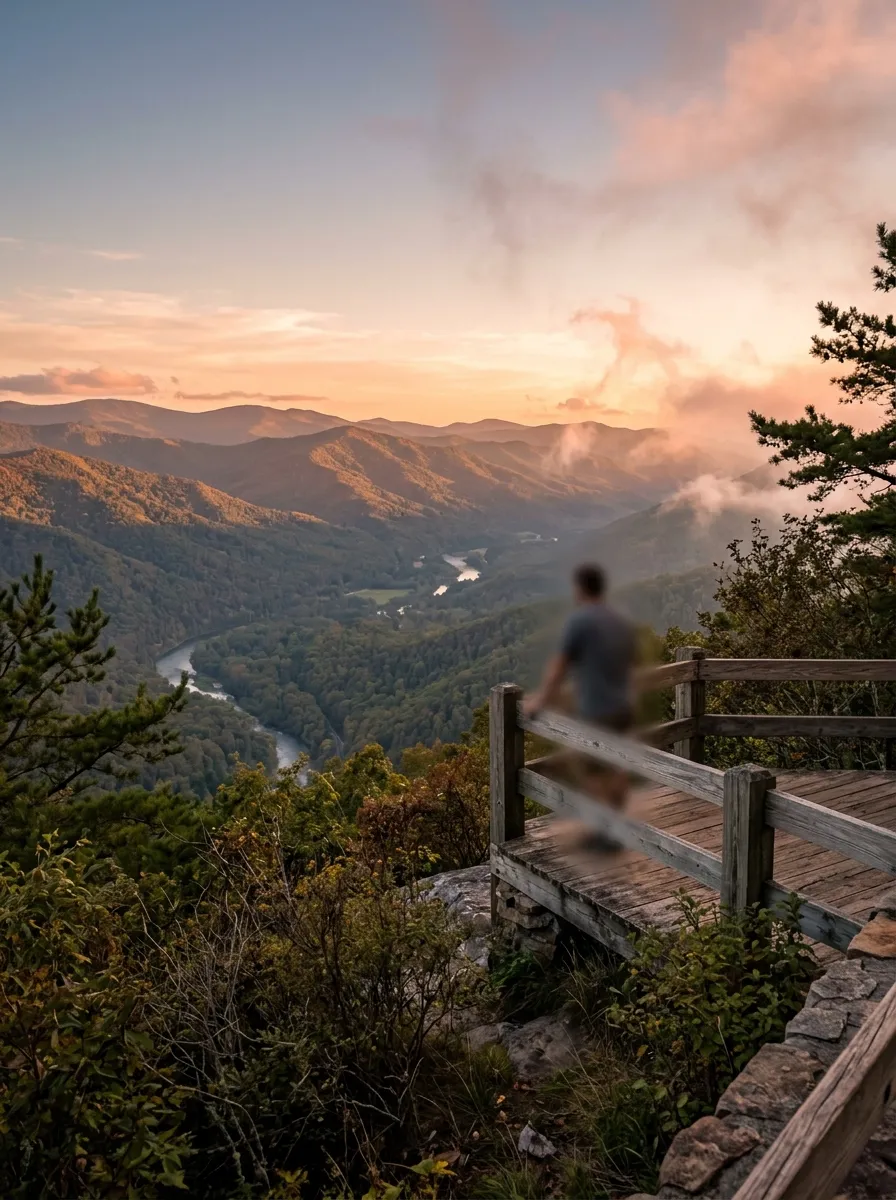
You do not have to complete a long hike to enjoy the park’s views. Several overlooks provide opportunities to see the Illinois River, surrounding forests, and the sandstone landscape.
Starved Rock Overlook is situated on a sandstone butte approximately 125 feet above the river. Other notable viewpoints include Lover’s Leap Overlook and Eagle Cliff Overlook.
These locations are especially rewarding for landscape photography, although visitors should stay behind designated barriers and away from unstable cliff edges.
3. Discover Seasonal Waterfalls
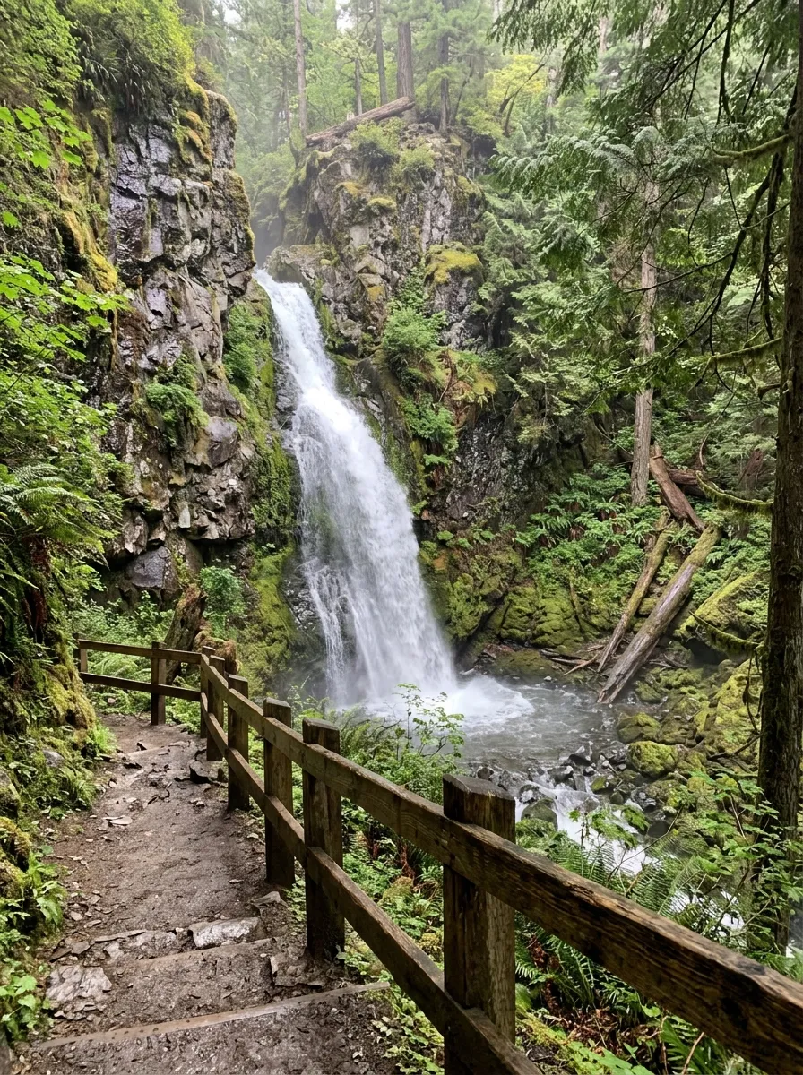
Waterfalls are among the park’s biggest attractions, but their appearance depends heavily on weather conditions.
Spring is generally the strongest season for flowing waterfalls because melting snow and rainfall supply additional water. During hot, dry summer periods, some waterfalls may become smaller or temporarily disappear. Autumn rainfall can restore water flow, while sufficiently cold winter conditions may create frozen waterfalls.
If waterfalls are your main reason for visiting, check recent weather conditions and trail updates before setting out.
Best Hiking Trails at Starved Rock State Park
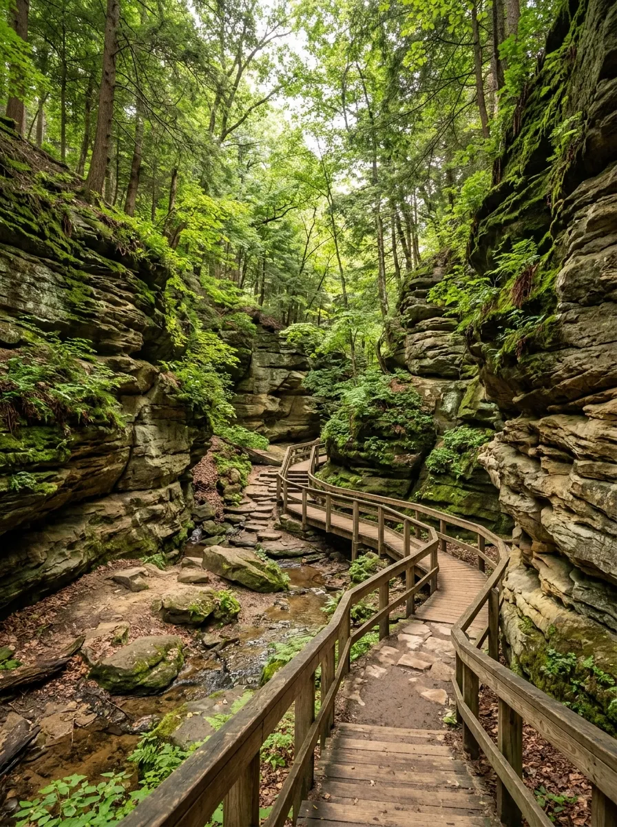
The park has more than 13 miles of hiking trails, providing options for shorter walks and more demanding outings. Actual distances depend on the selected route, trail connections, and access restrictions.
Trail Distance Comparison
| Trail or route | Reported distance | Best suited for |
|---|---|---|
| Starved Rock Trail | 0.3 miles | A short outing |
| Lover’s Leap Overlook Trail | 0.8 miles | Scenic views |
| St. Louis Canyon Trail | Reported as 3 miles round trip in one guide; under 2 miles in another | Canyon and waterfall scenery |
| Wildcat Canyon Trail | 2.6 miles | A longer canyon walk |
| LaSalle Canyon Loop | 4.5+ miles | Visitors seeking a longer hike |
| River Trail and Bluff Trail combination | 5+ miles | A more extended hiking day |
Important: These are reported distances, not a guarantee that every route is currently open or that every measurement uses the same starting point. Confirm the route on a current park map before relying on a distance for planning.
Which Trail Should You Choose?
For a short visit
Start with a short route or a suitable overlook. This approach works well if you have limited time, are visiting with children, or want to enjoy the scenery without committing to several hours of walking.
For canyon and waterfall views
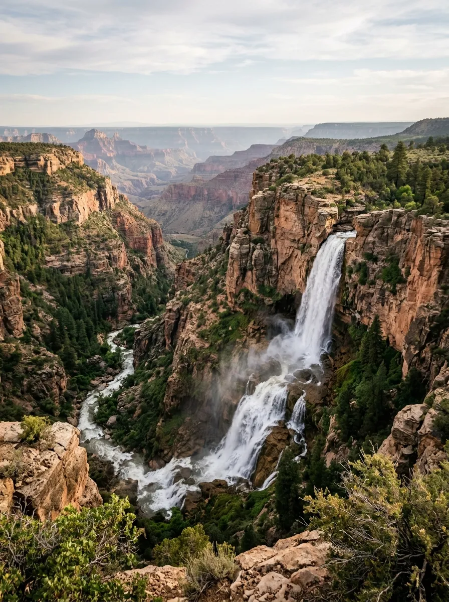
Consider St. Louis Canyon or LaSalle Canyon when access is available and recent rainfall has created favorable conditions. Wear shoes with reliable traction because damp sandstone and muddy sections can be slippery.
For a longer hiking day
Combine suitable sections of the River Trail and Bluff Trail, or choose a longer canyon route. Check the total distance, elevation changes, stairs, and return route before leaving the trailhead.
For photography
Visit scenic overlooks during softer morning or late-afternoon light. Spring is often preferable for flowing water, while October is highlighted for autumn foliage. Avoid entering restricted canyon areas just to obtain a photograph.
Best Time to Visit Starved Rock State Park
Each season offers a different experience. Your ideal visit depends on whether you prioritize waterfalls, comfortable hiking weather, fall colors, or winter wildlife.
| Season | Approximate months | What to expect |
|---|---|---|
| Spring | March–May | Waterfalls, snowmelt, emerging wildflowers |
| Summer | June–August | Green forests, outdoor recreation, potentially larger crowds |
| Fall | September–November | Colorful leaves, scenic photography, cooler conditions |
| Winter | December–February | Bald eagle viewing and possible frozen waterfalls |
Spring: Best for Waterfalls
Spring is a strong choice for visitors hoping to see waterfalls at their fullest. Rainfall and snowmelt can increase water flow, although conditions vary from year to year.
Trails may be muddy, wet, or slippery, so waterproof footwear and extra care are worthwhile.
Summer: Best for Green Scenery
June through August brings lush woodland scenery and opportunities for hiking, picnicking, and river-based recreation. However, popular routes may become crowded, particularly on weekends.
Arriving early can give you more time to explore before parking areas and trails become busy.
Fall: Best for Autumn Photography
September through November offers changing foliage and comfortable conditions on many days. Early October is a particularly useful period to consider for fall-color photography, although peak color depends on weather and local conditions.
Winter: Best for Bald Eagle Watching
Bald eagles are a major seasonal attraction along the Illinois River. December through February can provide rewarding viewing opportunities, and January is associated with Eagle Week.
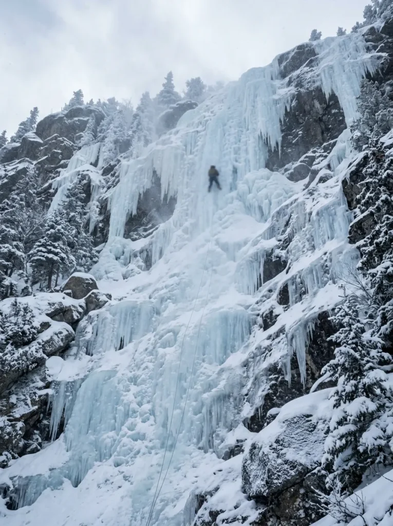
Frozen waterfalls may also appear during sustained cold weather. Check weather forecasts and trail conditions before visiting icy areas.
Things to Do at Starved Rock State Park
Hiking is the main attraction, but visitors can plan several other activities around the park’s natural setting.
Hiking and Nature Photography
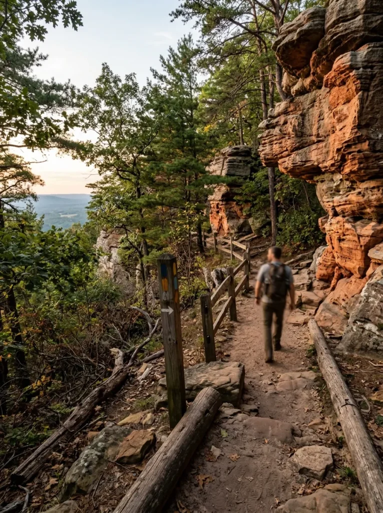
Follow marked routes through wooded areas, sandstone formations, and overlooks. Keep to designated paths and respect any closure signs.
Photographers should bring a charged phone or camera, extra storage if needed, and a lens suitable for both wide landscapes and wildlife.
Bald Eagle Watching and Birdwatching
The Illinois River area is associated with bald eagle sightings, especially during winter. Pelicans and other birdlife may also be observed depending on the season.
Use binoculars if available, keep a respectful distance from wildlife, and avoid disturbing nesting or resting birds.
Fishing and Water Activities
The Illinois River and Vermilion River are mentioned for fishing opportunities. White bass and catfish are among the fish identified in the park’s broader recreational context.
Canoeing, kayaking, rafting, and guided river experiences are also options in the surrounding area, subject to operator availability, river conditions, and applicable regulations.
Before fishing, confirm the relevant licensing requirements and local restrictions. Do not assume that every river activity is permitted inside every section of the park.
Picnicking and Family Outings
A picnic can turn a short hike into a relaxed half-day outing. Bring food, drinking water, waste bags, and suitable clothing, and use designated picnic areas where available.
Families should select routes according to children’s abilities and allow extra time for stairs, rest stops, and uneven surfaces.
Winter Ice Climbing
Frozen waterfalls may attract experienced ice climbers. Access is subject to park rules, safety requirements, and conditions.
Rock climbing is prohibited in the park according to the supplied visitor information. Always confirm the current rules before planning a climbing-related visit.
Opening Hours, Fees, and Visitor Information
Knowing the practical details before arrival can prevent avoidable delays.
| Item | Reported information |
|---|---|
| Park admission | Free |
| Parking | Free in the supplied guide |
| Trail hours | 7:00 a.m. until sunset |
| Visitor Center hours | 9:00 a.m.–4:00 p.m. daily, as reported in the supplied guide |
| Trail network | More than 13 miles |
| Recommended weekend arrival | Around 8:00–9:00 a.m. |
These hours and fee details should be treated as reported information rather than a guarantee of current operations. Access, facilities, and schedules may vary by season or during maintenance.
How to Get There
Visitors driving from Chicago can generally expect a journey of approximately 1.5–2 hours, depending on traffic.
Interstate 80 and Route 178 are among the roads mentioned in the supplied travel information. Use a current navigation app to select the best route from your exact starting point and to check for roadwork or delays.
Parking and Trail Access
Free parking is reported in the supplied information, but the availability of specific lots can vary. Some canyon routes have separate access points, so check the parking location associated with your chosen trail.
Do not assume that the closest parking lot to the visitor center provides access to every canyon.
Accessibility, Safety, and Park Rules
The park’s natural terrain can be challenging for some visitors. Although an accessible path of approximately 1/8 mile is described beyond the visitor center, much of the wider trail network includes uneven surfaces, stairs, slopes, gravel, and dirt.
Contact the park before visiting if you require step-free access or need to confirm the suitability of a particular route.
Essential Safety Guidelines
- Stay on marked trails. Sandstone formations and cliff edges can be fragile or unstable.
- Wear suitable footwear. Shoes with good grip help on muddy, rocky, or wet paths.
- Carry drinking water. Longer routes require more preparation, particularly during warm weather.
- Check closures. A trail shown on an older map may be inaccessible because of maintenance or damage.
- Respect barriers. Never enter a restricted canyon or climb a closed section to reach a viewpoint.
- Prepare for limited reception. Download a trail map before entering areas with unreliable mobile coverage.
- Watch the weather. Rain, ice, and temperature changes can affect trail safety.
- Follow wildlife guidance. Observe animals from a distance and never feed them.
Are Dogs Allowed?
Dogs are reported as permitted on trails when kept on a leash. The supplied visitor information also states that dogs are not allowed inside the lodge or visitor center.
Rules may differ by facility, so verify the latest pet policy before bringing your dog. Carry waste bags and make sure your pet can safely manage the selected route.
Trail Closures: What Visitors Should Know
Trail access can change because of construction, erosion, storm damage, or other maintenance. Information published for summer 2026 described restrictions affecting French Canyon access, Brown Bluff Trail, Campanula Trail, Tonti Canyon, Tonti Bridge, and a trail connection between LaSalle and Tonti Canyons.
Those reports are historical and should not be interpreted as confirmation of closures today.
Before travelling:
- Review current park alerts and trail conditions.
- Check the status of your intended canyon and parking area.
- Identify an alternative trail in case your first choice is closed.
- Follow posted signs even if an older online guide shows the route as open.
The safest itinerary is one that allows you to change plans without entering a restricted area.
Where to Stay and Eat Near Starved Rock State Park
Visitors can explore the park on a day trip or stay nearby to enjoy the area at a slower pace.
Accommodation Options
Starved Rock Lodge & Cabins: A historic property associated with the 1930s, offering accommodation and dining. It is a useful option for visitors who prefer to stay close to the park.
Grand Bear Resort: A family-oriented accommodation option highlighted for its indoor water park.
Starved Rock Family Campground: An option for travelers interested in camping rather than traditional hotel accommodation.
Check availability, prices, seasonal services, and cancellation policies directly before booking.
Food and Dining
The surrounding area includes several dining options mentioned in the supplied visitor information:
- Starved Rock Lodge Restaurant
- Jack’s Place Restaurant & Bar
- Lodi Tap House
- Skoog’s Pub & Grill
- Joy & Eds
- Bruce & Ollie’s
- Big Basin Brewing
- Duffy’s Tavern
These names are starting points for planning, not a guarantee of current operating hours or availability. Confirm opening times before making a detour, especially on weekdays or during the off-season.
Nearby Attraction: Matthiessen State Park
Matthiessen State Park is approximately 10 minutes by car from Starved Rock State Park, according to the supplied travel guides.
The nearby park offers another opportunity to explore canyons, wooded trails, and natural scenery. Combining the two destinations can make a worthwhile day trip for visitors who want more variety than a single park provides.
If you plan to visit both, check the route and trail conditions at each location and leave enough time to return before the relevant facilities or trails close.
Suggested One-Day Itinerary
A flexible itinerary helps you make the most of the day without rushing between attractions.
| Time | Suggested activity |
|---|---|
| 8:00–9:00 a.m. | Arrive, park, and review the current trail map |
| 9:00–11:00 a.m. | Explore an open canyon trail or scenic overlook |
| 11:00 a.m.–12:00 p.m. | Visit another accessible viewpoint or take a photography break |
| 12:00–1:00 p.m. | Enjoy a picnic or lunch nearby |
| 1:00–3:00 p.m. | Complete a second hike or enjoy wildlife watching |
| 3:00–4:00 p.m. | Visit the visitor center if open, or enjoy a final short walk |
| Before sunset | Finish the hike and return safely |
This is a suggested schedule, not an official timetable. Actual hiking time depends on route length, terrain, weather, crowd levels, and your pace. If you prefer visiting Matthiessen State Park as well, shorten the hiking portion and allow time for the drive.
Frequently Asked Questions
Is Starved Rock State Park free to enter?
Yes. The supplied visitor information reports free general admission. Parking is also reported as free, but check current official information for any changes or restrictions.
How far is Starved Rock State Park from Chicago?
The park is approximately 90–100 miles from Chicago. A typical drive takes around 1.5–2 hours, depending on traffic, route, and starting location.
How many canyons are at Starved Rock State Park?
The park is known for 18 canyons, formed by erosion in the sandstone landscape. Access and water flow vary by canyon and season.
What is the best month to visit Starved Rock State Park?
April and May are worth considering for spring waterfalls, while early October is highlighted for fall colors. Winter can be rewarding for bald eagle watching. The best month depends on weather and your preferred activities.
How long are the hiking trails?
The park has more than 13 miles of trails. Individual routes vary from short walks, such as the reported 0.3-mile Starved Rock Trail, to longer combinations exceeding 5 miles. Confirm current route measurements before hiking.
Are the waterfalls always flowing?
No. Waterfall flow depends on rainfall, snowmelt, and seasonal weather. Spring generally offers better water flow, while some waterfalls may shrink or dry out during hot summer periods.
Can you bring dogs to Starved Rock State Park?
Dogs are reported as allowed on trails when leashed. Restrictions apply to some buildings and facilities, and visitors should verify current rules before arrival.
Are the trails suitable for wheelchair users?
Accessibility is limited by the natural terrain. An accessible path of approximately 1/8 mile is described beyond the visitor center, but many trails include stairs, gravel, dirt, and uneven surfaces. Contact the park to confirm current accessible options.
Can you climb the rocks at Starved Rock State Park?
Rock climbing is reported as prohibited. Winter ice climbing may be possible under applicable rules and conditions, so visitors should verify current regulations before planning such an activity.
Is Matthiessen State Park close to Starved Rock?
Yes. It is approximately 10 minutes away by car, making it a convenient additional stop for visitors interested in more canyon scenery and hiking.
What should I bring for a day at the park?
Bring comfortable hiking shoes, drinking water, weather-appropriate clothing, a charged phone, a downloaded trail map, snacks, sunscreen, and insect repellent when appropriate. For winter visits, use suitable layers and check for ice before choosing a trail.
Final Tips for Planning Your Visit
Starved Rock State Park offers a combination of canyon scenery, seasonal waterfalls, river overlooks, wildlife, and hiking routes within approximately 2,630 acres of natural landscape. Its 18 canyons provide plenty of variety, whether you prefer a short walk or a longer day outdoors.
For the most rewarding visit, select your trail before arriving, check the latest closure notices, and plan around the season’s conditions. Spring is a strong choice for waterfalls, October can be excellent for foliage, and winter offers opportunities for bald eagle watching.
Most importantly, stay on designated trails, respect access restrictions, and allow enough time to explore without rushing. A little preparation makes it easier to enjoy the park safely and appreciate its natural beauty.

Hi, I’m Marcus! I love exploring the outdoors and discovering incredible places. Through ExploreNatureTrips blog, I share my travel experiences, useful tips, and recommendations for the best sights, trails, and destinations to visit.