Flaming Gorge National Recreation Area: Complete Guide

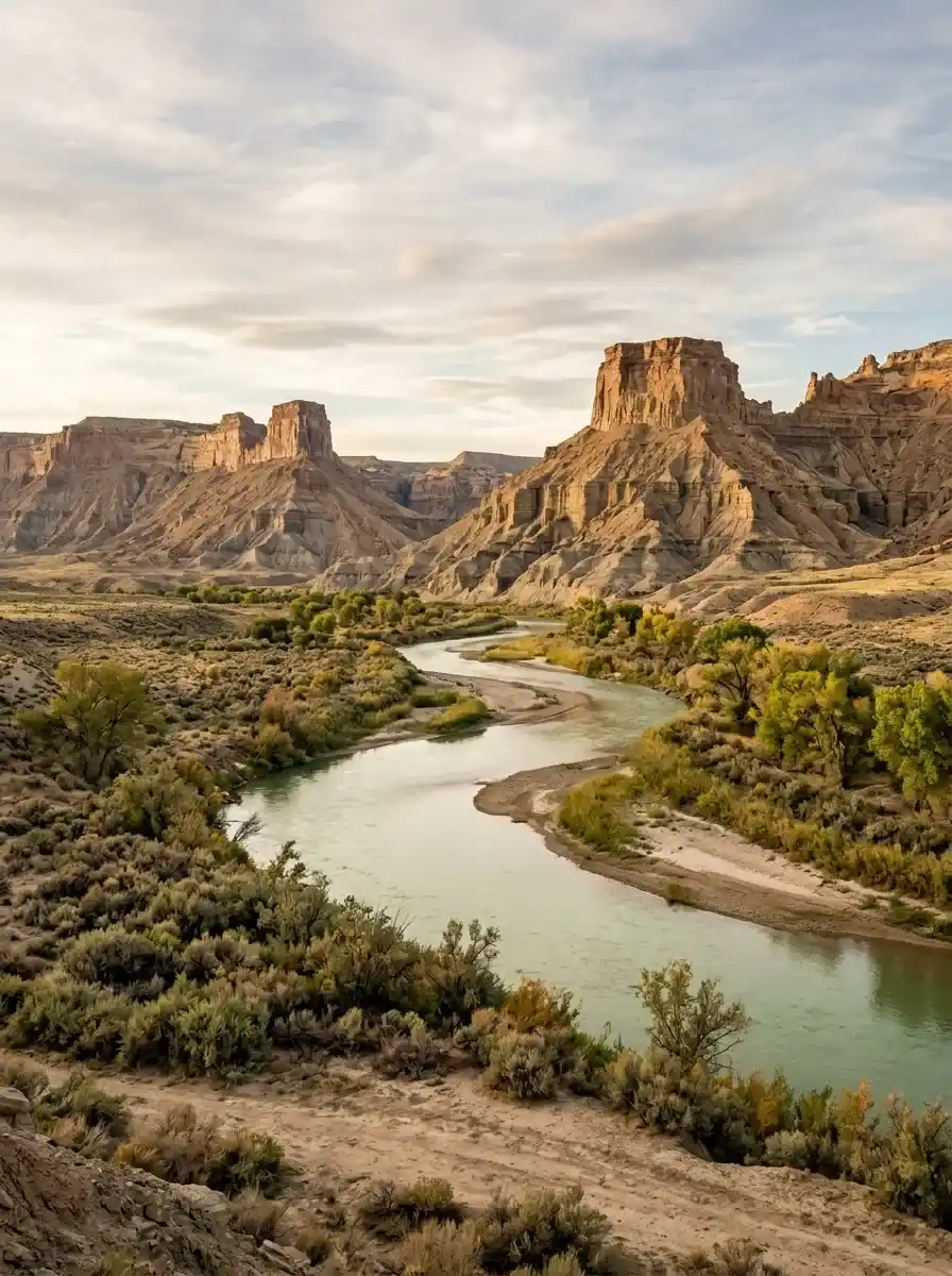
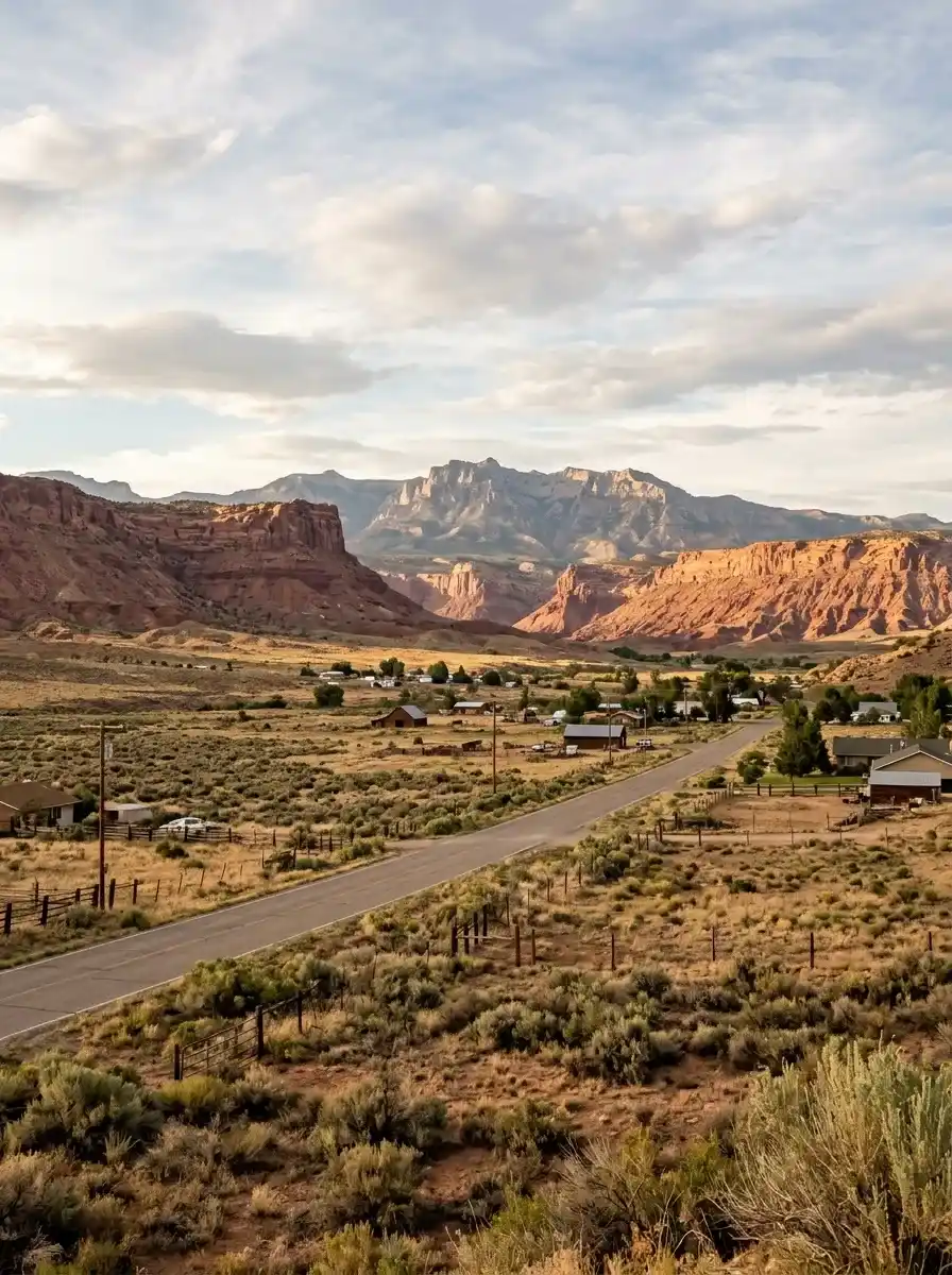
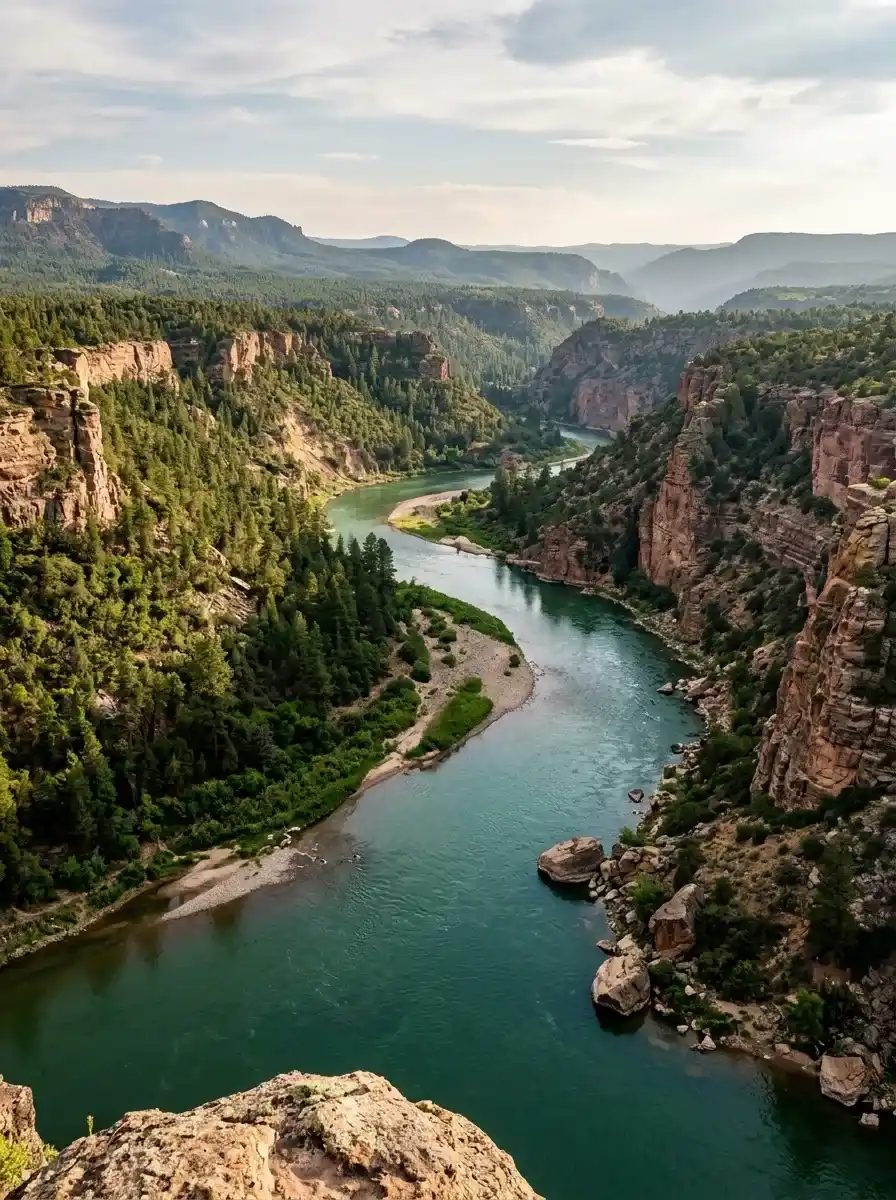
Flaming Gorge National Recreation Area is an outdoor destination known for its striking red canyon walls, clear blue-green reservoir, forested mountains, and the scenic Green River. Located across northeastern Utah and southwestern Wyoming, it offers a wide range of activities for families, hikers, anglers, campers, photographers, and road-trip travelers.
Whether you want to spend a day exploring scenic overlooks or plan a multi-day outdoor adventure, the area offers opportunities to enjoy both water-based recreation and rugged landscapes. You can hike along canyon rims, fish for trout, paddle across the reservoir, drive through geological formations, or relax at a campsite near the water.
Planning makes the experience easier. Understanding the best seasons, trail distances, driving times, boating access, and camping arrangements can help you choose activities that fit your schedule and experience level. So read the Complete Guide below for the best experience
Photos:
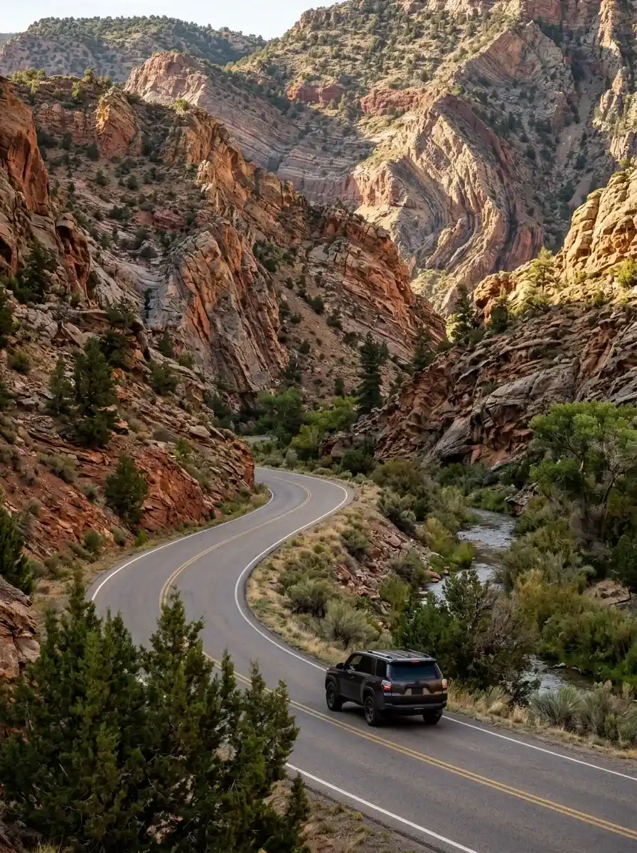
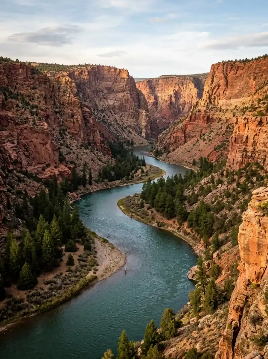
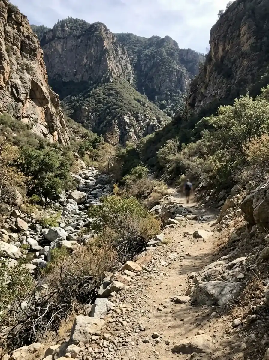
Where Is Flaming Gorge National Recreation Area?
Flaming Gorge National Recreation Area extends across parts of Utah and Wyoming. Its most recognizable feature is Flaming Gorge Reservoir, a long body of water surrounded by colorful cliffs, forested slopes, and high-desert terrain.
The Green River is another major attraction. It flows below Flaming Gorge Dam through a landscape popular with anglers, hikers, and visitors seeking peaceful river scenery.
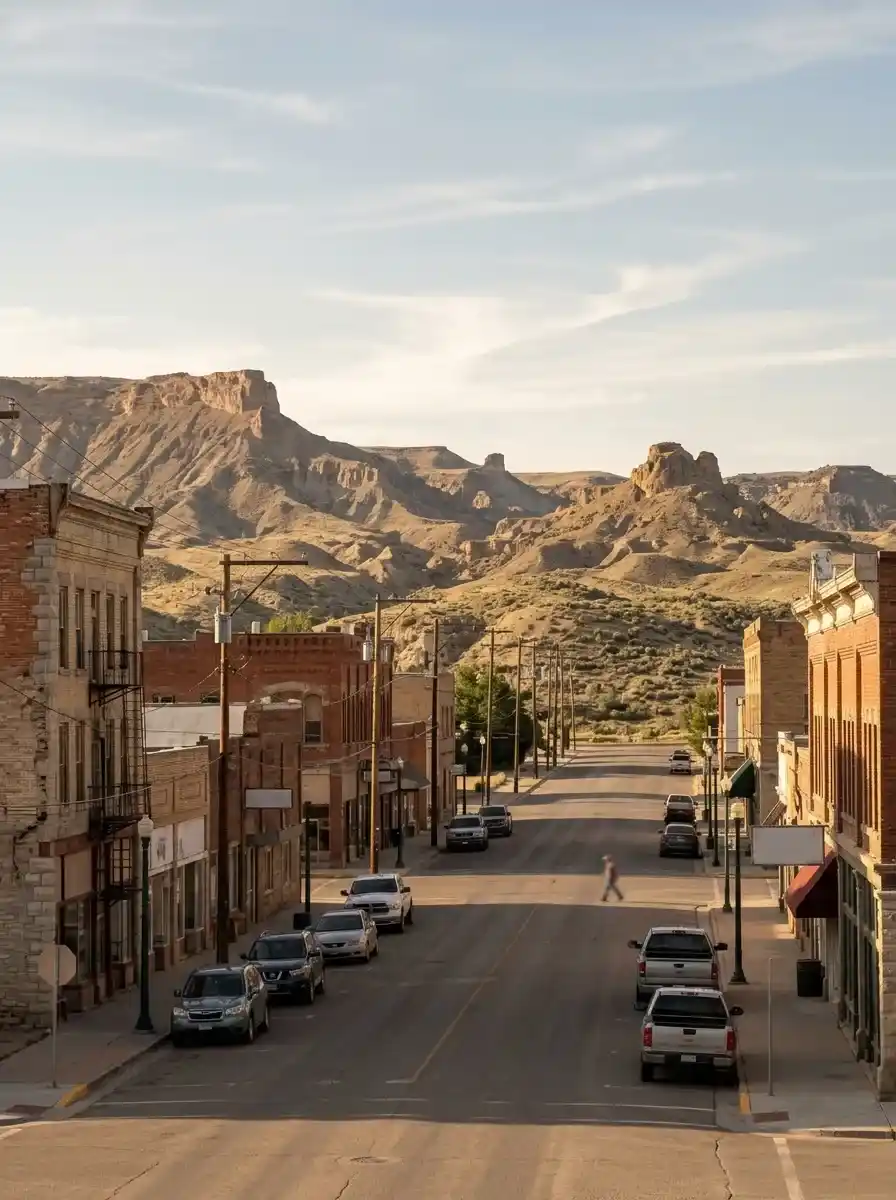
Several communities provide access to lodging, food, fuel, equipment, and outdoor services.
- Dutch John, Utah: A useful base for river activities, fishing guides, boat rentals, and nearby trails.
- Manila, Utah: An access point for services and travel toward the reservoir’s western recreation areas.
- Rock Springs, Wyoming: A regional starting point for road trips into the surrounding landscape.
- Green River, Wyoming: Another nearby city that can fit into a wider regional itinerary.
Important geographical facts
| Feature | Details |
|---|---|
| States | Utah and Wyoming |
| Main reservoir | Flaming Gorge Reservoir |
| Reservoir length | Approximately 91 miles |
| Recreation-area size | One supplied source lists 207,363 acres |
| Listed elevation | 6,919 feet |
| Main river | Green River |
| Major landmark | Flaming Gorge Dam |
The reservoir and recreation area are different geographical features. The reservoir is the body of water, while the recreation area includes surrounding landscapes and facilities.
Best Time to Visit Flaming Gorge

The best time to visit depends on your preferred activities, weather conditions, and tolerance for crowds. Summer is especially attractive for boating and camping, while spring and fall can offer a quieter experience for hiking, fishing, and photography.
Winter brings a different landscape, with colder conditions and opportunities for peaceful sightseeing or selected snow-based activities.
Seasonal travel guide
| Season | Typical months | Best activities | Planning considerations |
|---|---|---|---|
| Spring | May–June | Hiking, fishing, photography, wildflowers | Check trail conditions and changing weather |
| Summer | July–August | Boating, swimming, kayaking, camping | Reserve popular campsites in advance |
| Fall | September–October | Scenic drives, photography, fishing | Prepare for cooler evenings |
| Winter | November–March | Quiet sightseeing, selected winter activities | Check snow, road access, and facility availability |
These periods are general planning windows rather than guarantees of local conditions. Weather, water levels, road closures, and operating schedules can change.
Is spring a good time to visit?
Spring can be a good choice if you prefer milder weather and fewer visitors than during the busiest summer periods. Wildflowers and changing vegetation can add color to the landscape, although higher-elevation trails may remain cold or difficult to access.
Is summer the best season for boating?
Summer is generally the most suitable period for many reservoir activities, including boating, paddleboarding, swimming, and family camping. However, demand for accommodation and campsites can be high, so arranging reservations early is sensible.
What makes fall special?
Fall can bring colorful vegetation, quieter viewpoints, and opportunities to photograph the surrounding scenery. The Sheep Creek Geological Loop is a particularly useful option for a scenic drive, and seasonal wildlife activity may provide additional viewing opportunities.
Best Things to Do at Flaming Gorge
The recreation area offers a combination of water sports, hiking, scenic driving, fishing, wildlife observation, and camping. You do not need to participate in every activity to enjoy the destination; choosing a few experiences based on your available time can make your visit more relaxed.
1. Explore Flaming Gorge Reservoir
The reservoir is the centerpiece of the area and provides opportunities for both active recreation and peaceful sightseeing.
Popular activities include:
- Boating and motorboat excursions.
- Kayaking and canoeing.
- Paddleboarding.
- Swimming in appropriate designated areas.
- Water skiing and wakeboarding.
- Jet skiing.
- Fishing from shore or a boat.
- Photography from accessible viewpoints.
Visitors can bring their own boat or investigate rental services at locations such as Buckboard Marina. Check current launch access, rental availability, water conditions, and local boating requirements before travelling.
2. Visit Flaming Gorge Dam
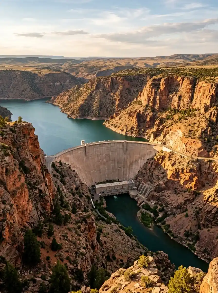
Flaming Gorge Dam is one of the area’s principal landmarks. It separates the reservoir from the Green River below and provides a useful starting point for understanding the relationship between the reservoir, river, and surrounding canyon landscape.
Depending on current operating arrangements, visitors may be able to learn about the dam through visitor facilities or tours. Check opening hours, tour availability, and access restrictions before making it a fixed part of your itinerary.
3. Go Trout Fishing on the Green River
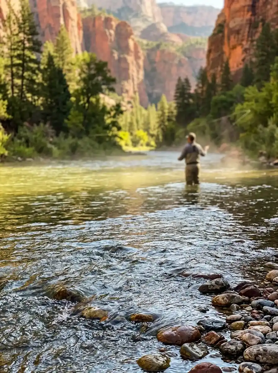
Fishing is a major reason many visitors travel to Flaming Gorge. The reservoir is associated with lake trout, while the Green River below the dam offers opportunities to pursue brown and rainbow trout.
Depending on local conditions and regulations, anglers may choose different methods.
- Fly fishing: Suitable for anglers who enjoy a more technical approach.
- Spin fishing: An alternative for visitors using spinning tackle.
- Wading: Allows anglers to reach selected sections of the river on foot.
- Guided fishing trips: Helpful for beginners or people unfamiliar with local water conditions.
- Boat fishing: Offers access to suitable reservoir fishing locations.
A supplied source cites approximately 15,000 fish per river mile for the Green River. Treat this as a source-reported figure rather than a current guarantee of fish abundance or catch rates.
Before fishing, verify the applicable Utah or Wyoming licence requirements, season dates, catch limits, tackle restrictions, and any special rules for the specific water you intend to visit.
4. Hike the Red Canyon Rim Trail
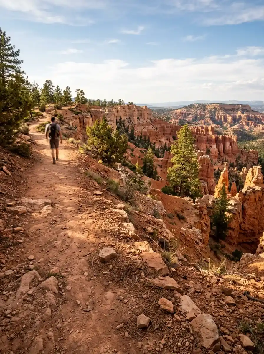
Red Canyon Rim Trail is a popular option for visitors seeking elevated views of the canyon landscape. It can be a rewarding choice for photography, short outdoor excursions, and observing the contrast between red rock formations and the reservoir.
One supplied guide describes possible round-trip distances ranging from 4 to 9 miles, while a separate route listing gives approximately 3.96 km for a route with a recorded duration of 1 hour and 6 minutes.
These measurements may describe different trail sections or route configurations. Confirm the exact trailhead, total distance, and return route before setting out.
5. Walk the Little Hole Trail
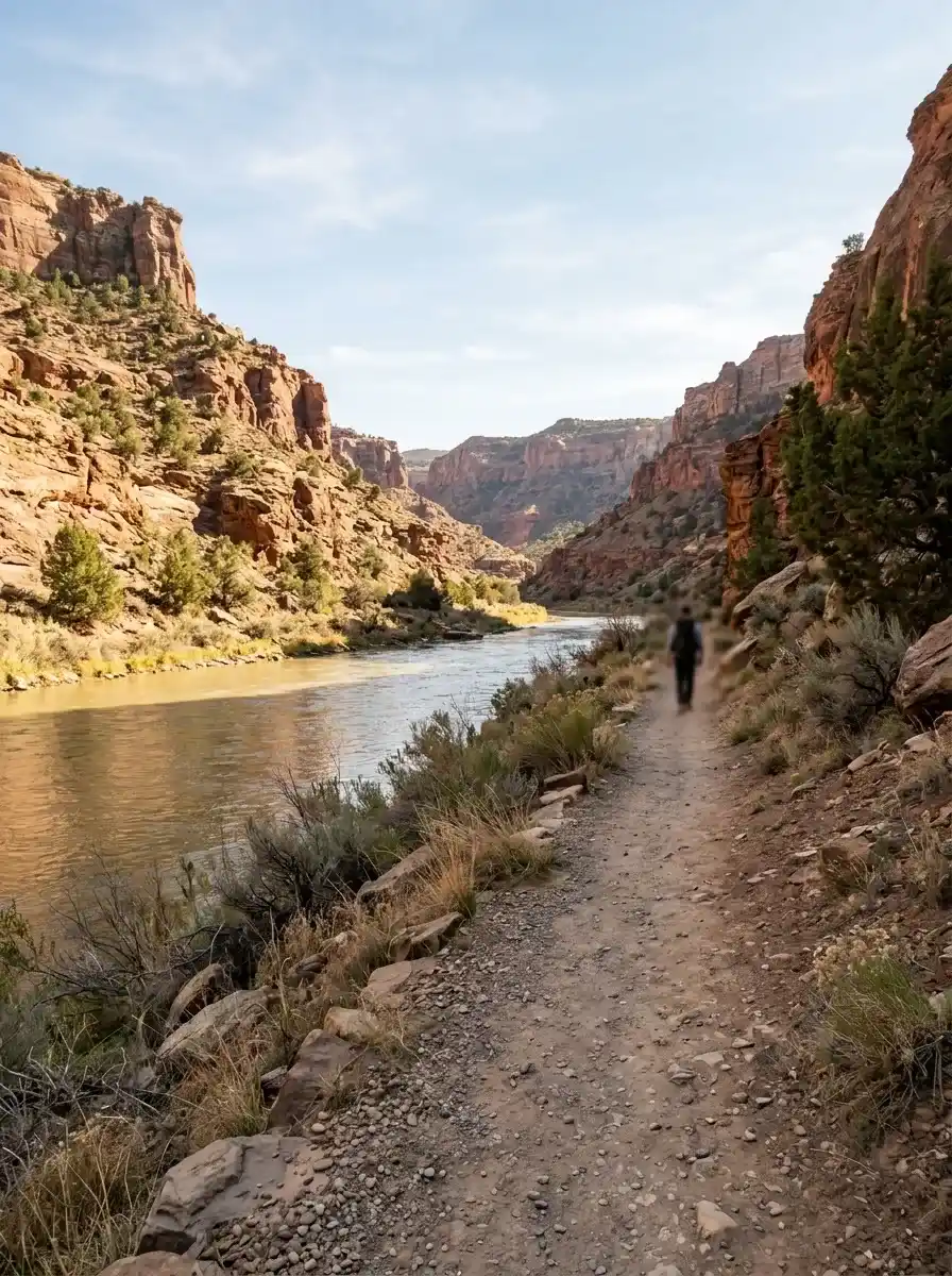
Little Hole Trail provides access to Green River scenery and is associated with hiking, wildlife observation, and fishing.
One guide describes a route of approximately 7 miles one way, while another route listing records approximately 10.7 km, with a listed duration of 2 hours and 48 minutes.
The figures should not be treated as identical routes without checking their endpoints. If you plan a one-way walk, arrange transport back to your starting point or confirm a safe return route before leaving.
6. Explore Bear Canyon Trail
Bear Canyon Trail offers another way to experience the area’s canyon terrain. The supplied guide lists a route of approximately 2.5 miles, while a separate mapped route called Bear Canyon Bootleg Trail is listed at 4.89 km with a duration of 1 hour and 17 minutes.
The trail names and measurements differ, so confirm which route you intend to follow. Bring sufficient water, wear suitable footwear, and check the expected weather before starting.
7. Drive the Sheep Creek Geological Loop
The Sheep Creek Geological Loop is a scenic driving option for people who want to see unusual rock formations without committing to a long hike.
It is especially relevant for visitors interested in:
- Geological features and layered rock formations.
- Landscape photography.
- Scenic roadside stops.
- Autumn scenery.
- A more flexible excursion suitable for a road-trip itinerary.
Allow additional time for safe stops and photographs. Stay in designated parking areas and avoid stopping where your vehicle could obstruct traffic.
8. Enjoy Wildlife Watching and Photography
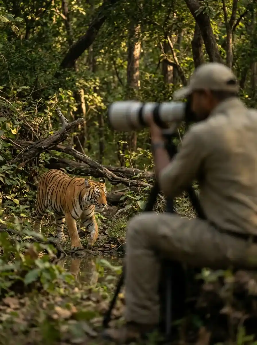
The combination of water, cliffs, forest, and open terrain creates opportunities to observe wildlife and photograph changing landscapes.
Depending on the season and location, visitors may encounter or observe birds, eagles, antelope, moose, bighorn sheep, and other wildlife.
For a better experience:
- Carry binoculars if you enjoy birdwatching.
- Use a camera zoom instead of approaching animals.
- Keep a safe distance from wildlife.
- Avoid feeding animals.
- Remain on established trails where possible.
- Check local restrictions before using drones.
Wildlife sightings are never guaranteed, and seasonal activity varies.
Hiking Trails: Distances, Times, and Difficulty
Choosing a suitable route is one of the most important parts of planning your visit. Trail length alone does not determine difficulty; elevation changes, terrain, temperature, water availability, and the distance back to your vehicle also matter.
Trail comparison table
| Trail or route | Listed distance | Listed duration | Reported elevation change |
|---|---|---|---|
| Red Canyon Rim Trail | 3.96 km | 1 hr 6 min | +60 m / −80 m |
| Bear Canyon Bootleg Trail | 4.89 km | 1 hr 17 min | +40 m / −40 m |
| Canyon Rim Trail | 15.5 km | 4 hr 15 min | +250 m / −250 m |
| Little Hole Trail | 10.7 km | 2 hr 48 min | +80 m / −70 m |
These are route-listing measurements, not guarantees of the time or elevation changes you will experience. Walking speed, stops, weather, and the selected route can affect your actual trip.
How to choose a hiking difficulty level
A route-planning guide included in the supplied material describes the following general hiking categories:
| Difficulty | General guidance |
|---|---|
| Easy | Up to 2 hours and approximately 1,000 feet of elevation gain |
| Moderate | Up to 5 hours and approximately 3,000 feet of elevation gain |
| Hard | More than 5 hours or more than 3,000 feet of elevation gain |
These are broad classification guidelines, not official ratings for every trail in Flaming Gorge. Always check the actual route profile, surface conditions, and current trail information.
Hiking safety check Point
Before starting a hike:
- Carry enough drinking water for the route and conditions.
- Bring snacks, sun protection, and weather-appropriate layers.
- Download a map or carry another reliable navigation option.
- Tell someone your intended route and expected return time.
- Check for trail closures and weather warnings.
- Start early enough to finish before darkness.
- Turn around if conditions become unsafe.
At higher elevations, temperatures and weather can change quickly. Do not rely solely on estimated online hiking times.
Scenic Drives and Overlooks
Scenic drives are an excellent option for visitors who want to see several landscapes in a single outing. They can also provide alternatives when a long hike is not suitable for everyone in the group.
Flaming Gorge–Uintas Scenic Byway
The supplied material describes the Flaming Gorge–Uintas Scenic Byway as approximately 150 miles long. It offers a broader road-trip experience through mountain, forest, and canyon scenery.
Plan for fuel stops, photography breaks, changing weather, and the time needed to return to your accommodation. Confirm road conditions and the route’s current accessibility before departure.
Red Canyon Overlook
Red Canyon Overlook provides panoramic views of the canyon and surrounding landscape. It is a useful stop for visitors who want photographs without completing a long backcountry route.
Dowd Mountain Overlook
Dowd Mountain Overlook is associated with a longer route described in the supplied material as approximately 11 miles round trip from the Canyon Rim area. Check the precise route and elevation profile before deciding whether to hike or approach the area by another accessible route.
Firehole Canyon
Firehole Canyon is another location mentioned for visitors seeking scenery and a quieter outdoor experience. Check access conditions and available facilities before planning a picnic or extended stop.
Camping and Accommodation Near Flaming Gorge
Staying overnight gives you more time to explore the reservoir, enjoy changing light at scenic overlooks, and start outdoor activities early.
Available accommodation varies by location and season. Options mentioned in the supplied material include lodges, cabins, yurts, bed-and-breakfast accommodation, and campsites.
| Accommodation or service | Potential use |
|---|---|
| Red Canyon Lodge | Lodging and access toward Red Canyon Overlook |
| Flaming Gorge Resort | Dining, fishing equipment, guided trips, and other visitor services |
| Rocky Ridge Outpost | Cabin and yurt accommodation |
| Sweet Lorraine’s Bed and Breakfast | Bed-and-breakfast stay |
| Buckboard Marina | Boat rental and reservoir access |
| Dutch John | Regional base for river recreation and outdoor services |
| Manila | Food, lodging, and access to nearby recreation areas |
These are planning leads, not a guarantee that every business or facility is currently operating or available. Confirm current services, prices, accessibility, and seasonal opening schedules directly before booking.
Camping tips for a smoother visit
- Reserve a campsite well ahead of a busy summer trip; the supplied travel guide recommends booking at least one month in advance.
- Check whether the site provides drinking water, toilets, electricity, or other facilities.
- Confirm vehicle restrictions and any limits on camping equipment.
- Bring adequate food, water, lighting, and suitable sleeping gear.
- Follow local fire restrictions and use only approved fire areas.
- Store food securely and keep the campsite clean.
- Check the forecast before arrival and prepare for cool nights.
Do not assume that every campsite is close to a boat launch, drinking water, or a staffed visitor facility.
How to Plan a One-Day Visit
A one-day visit works best when you select a small number of nearby attractions instead of trying to cover the entire recreation area.
Suggested one-day itinerary
Morning: Scenic views and a short hike
Begin with Red Canyon Overlook or another accessible viewpoint. If weather and trail conditions permit, choose a short section of a suitable hiking trail.
Late morning: Explore the landscape
Drive toward a scenic route such as Sheep Creek Geological Loop. Stop only at safe, designated pullouts and allow time for photographs.
Afternoon: Reservoir or river activities
Choose an activity that matches the season and your experience. Options include boating, kayaking, sightseeing, or a guided fishing trip.
Late afternoon: Relax and return
Finish with a relaxed viewpoint stop or a meal in a nearby community. Leave enough time to return safely before darkness.
This is a flexible example rather than a fixed schedule. Travel distances, activity availability, and daylight hours should determine the final plan.
How to Plan a Three-Day Flaming Gorge Trip
A longer stay allows you to combine water activities, hiking, scenic driving, and wildlife observation without rushing between locations.
Day 1: Reservoir and dam
- Explore Flaming Gorge Reservoir.
- Visit the dam if access and visitor services are available.
- Choose a suitable boating, paddling, or shoreline activity.
- Stay at a campsite or accommodation that fits your route.
Day 2: Hiking and river scenery
- Select a suitable trail, such as a confirmed section of Red Canyon Rim Trail or Little Hole Trail.
- Allow time for photographs and rest breaks.
- Consider a guided fishing experience if conditions and regulations permit.
- Return to your accommodation before darkness.
Day 3: Scenic drive and local attractions
- Explore Sheep Creek Geological Loop.
- Visit an accessible overlook.
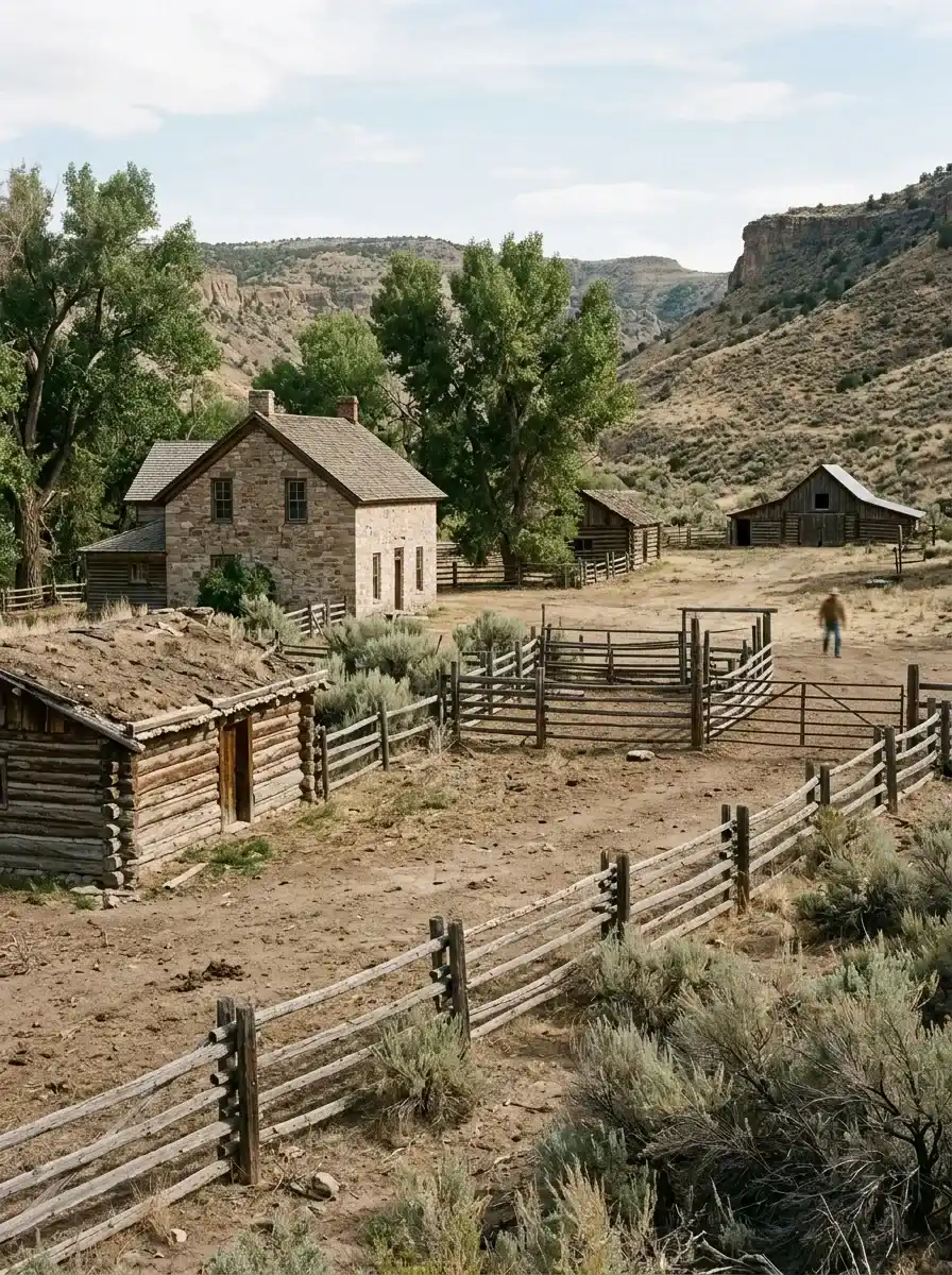
- Consider a historic site such as Swett Ranch or Jarvie Ranch if it is open to visitors.
- Finish with a relaxed meal or a short scenic stop.
Keep the schedule flexible. A trail closure, poor weather, a delayed boat rental, or a change in water conditions may make a different activity more appropriate.
Historic Places and Additional Attractions
Flaming Gorge is not limited to outdoor sports. Historic locations offer a different way to understand the people and communities associated with the region.
Swett Ranch
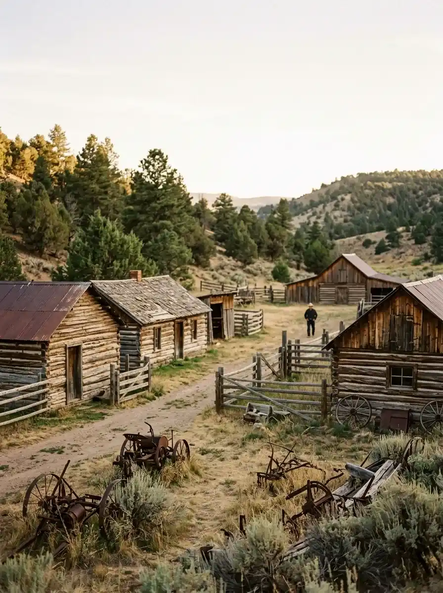
Swett Ranch is identified in the supplied material as a historic homestead. It can be of interest to visitors who want to explore the area’s settlement history alongside its natural landscape.
Jarvie Ranch
Jarvie Ranch is described as a historic trading post and homestead. Check current access, opening arrangements, and any restrictions before including it in your itinerary.
Flaming Gorge visitor experiences
The supplied material also mentions the Flaming Gorge Bus Tour and Flaming Gorge Days as recurring visitor experiences. Their dates, operating schedules, and availability may change from year to year, so verify the current event calendar before travelling.
What to Pack for Flaming Gorge
Your packing list should reflect the season, the length of your visit, and the activities you plan to undertake.
Essentials for most visitors
- Drinking water and refillable bottles.
- Comfortable walking shoes or hiking boots.
- Sunscreen, sunglasses, and a hat.
- Weather-appropriate layers.
- Snacks and a basic first-aid kit.
- A phone with offline maps or another navigation option.
- Binoculars or a camera.
- Insect repellent when appropriate.
- A headlamp or flashlight for overnight trips.
For water activities
Bring suitable swimwear, towels, and protective clothing. Use a properly fitted life jacket whenever required and follow local boating and water-safety rules.
For camping
Add appropriate shelter, sleeping equipment, food storage, lighting, cooking equipment where permitted, and waste bags. Confirm the facilities available at your chosen campsite so you do not carry unnecessary equipment or arrive without essential supplies.
Practical Safety and Responsible Travel Tips
The landscape can be beautiful and rugged at the same time. Preparation helps protect both visitors and the environment.
Check conditions before departure
Review weather forecasts, road conditions, trail access, boat-launch availability, and relevant alerts. A route that is easy in favorable conditions may become difficult after rain, snow, or extreme temperatures.
Follow fishing and boating regulations
Requirements may differ between Utah and Wyoming and between the reservoir and river. Confirm the applicable fishing licence, permitted methods, catch limits, boating rules, and equipment requirements for your exact activity.
Respect the natural environment
Stay on designated routes, avoid disturbing wildlife, pack out rubbish, and follow fire restrictions. Do not enter closed areas or approach unstable canyon edges for photographs.
Prepare for limited services
Some recreation locations are remote. Fuel, food, drinking water, mobile coverage, and emergency assistance may not be readily available everywhere. Carry essential supplies and plan your route before leaving a populated area.
Similar Sights
- Olympic National Park Washington: Trails & Travel Guide
- Glacier National Park, Montana: Complete Visitor Guide
FAQs
Where is Flaming Gorge National Recreation Area located?
Flaming Gorge National Recreation Area extends across northeastern Utah and southwestern Wyoming. Flaming Gorge Reservoir, the Green River, red canyon walls, and forested terrain are among its defining features.
How long is Flaming Gorge Reservoir?
Flaming Gorge Reservoir is approximately 91 miles long, according to the supplied source summaries. The reservoir is a central attraction for boating, fishing, paddling, and scenic sightseeing.
What is the best month to visit Flaming Gorge?
May and June can be attractive for spring scenery, while July and August are popular for water activities and camping. September and October can offer scenic driving and quieter conditions. Weather and access vary each year.
What are the best things to do at Flaming Gorge?
Popular activities include boating, kayaking, trout fishing, hiking, camping, scenic driving, wildlife watching, photography, and visiting Flaming Gorge Dam. Your best options depend on the season and available time.
Can beginners hike at Flaming Gorge?
Yes, some routes are described as easy, but beginners should verify the exact trail, distance, terrain, elevation changes, and return route. Carry enough water and choose a hike that matches your fitness and experience.
How long does the Little Hole Trail take?
One supplied route listing gives approximately 10.7 km and an estimated duration of 2 hours and 48 minutes. Another guide describes a route of approximately 7 miles one way. Confirm the trail endpoints and route configuration before setting out.
Is Flaming Gorge good for fishing?
Yes. The reservoir is associated with lake trout, and the Green River below the dam offers opportunities to catch brown and rainbow trout. Check local licensing requirements, fishing regulations, and current conditions before fishing.
Can visitors rent boats at Flaming Gorge?
Boat rental services are mentioned at Buckboard Marina. Availability, prices, operating hours, and equipment options can change by season, so confirm arrangements before arriving.
How many days should I spend at Flaming Gorge?
One day can cover a scenic overlook, a short hike, and a reservoir activity. A three-day trip provides more flexibility for hiking, fishing, boating, scenic driving, and historic attractions.
Should I reserve camping in advance?
Advance reservations are sensible during busy summer periods. The supplied material recommends booking at least one month ahead, but the appropriate lead time depends on the campground, travel dates, and current demand.
Is Flaming Gorge suitable for families?
Yes, families can choose scenic drives, accessible viewpoints, suitable hikes, shoreline activities, and selected boating experiences. Check safety requirements, walking distances, facilities, and weather before choosing activities for children.
Is Flaming Gorge open in winter?
The area offers winter scenery and selected outdoor opportunities, but access and available services can vary. Check current road conditions, weather alerts, facility schedules, and activity-specific restrictions before travelling.
Final Thoughts
Flaming Gorge National Recreation Area offers a combination of reservoir adventures, canyon scenery, hiking routes, fishing opportunities, historic places, and scenic roads across Utah and Wyoming. Its variety makes it suitable for visitors who want a short sightseeing trip as well as those planning several days outdoors.
For the best experience, select activities based on the season, verify route measurements and current access conditions, reserve accommodation early when necessary, and prepare for the area’s changing weather and remote terrain.
With a realistic itinerary and the right equipment, you can explore Flaming Gorge at a comfortable pace while enjoying its distinctive landscapes and outdoor experiences.
Editorial note: Route measurements, travel times, business services, event schedules, and seasonal conditions may change. Verify current details before publication and encourage readers to confirm local conditions before travelling.
Hi, I’m Marcus! I love exploring the outdoors and discovering incredible places. Through ExploreNatureTrips blog, I share my travel experiences, useful tips, and recommendations for the best sights, trails, and destinations to visit.


